Baie des Trépassés
Edit SpotAbout
I worked at Audierne for 4 winter months and used to surf the Bay each morning: i sometimes got tubed in a windless fog where i could'nt see the beach from the peak... and i was alone.
Also, the only time in my life where i put on a helmet in the water was here, because i was (again) alone and the waves were 2.5 meters high.
Atmosphere:
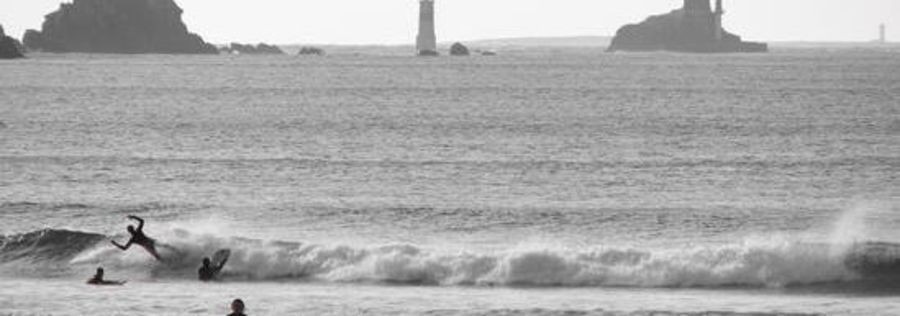
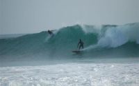
The place is known all around and it can get crowded, especially on weekends or holidays... and especially on smallest swells: all you have to do is wait for some no-beginners conditions.
2 meters swell is a good reference.
Thought, crowd remain really mellow most of the time: just don't snake the wrong person too many times...
If possible, come here during the weekdays and before the wind raises (morning).
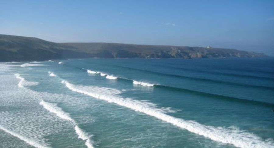
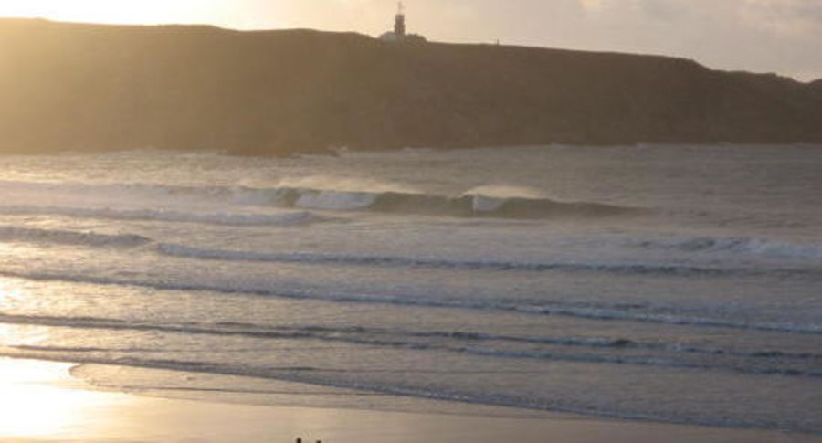
Though, the place is pretty nice and you usually can see the sandbar under your feet when you're surfing a wave.
Additional Info:
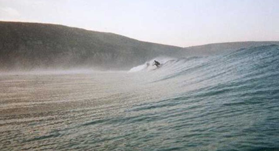
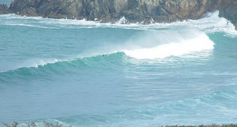
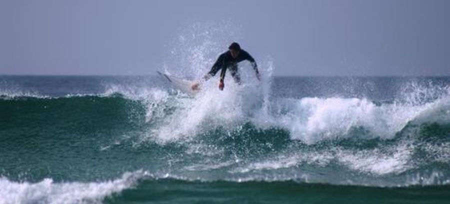
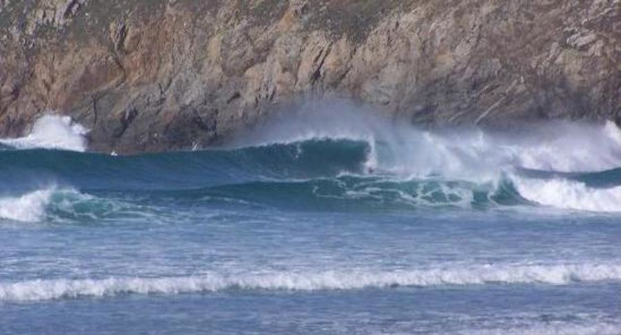
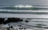
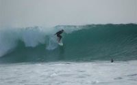
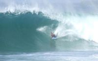
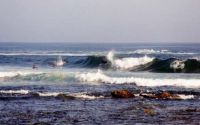
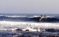
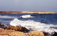
One of the most powerful and fastest waves of the whole Brittany region (and hollow if you add an offshore wind). Some of the HEAVIEST CURRENTS, too. Apart from that, the main danger of the place is a single big rock which could be underwater at high tide: it is about 50 meters before the cliff of Van point (North side).
The take off is the fastest part of the wave (except when it tubes): do not forget the wax !
One other tip : the name of the spot means Bay of Dead Men because the breton legend says that the Death (the Ankou) comes here by boat once a year to take the dead people toward the Other World.
...And french common-saying states: "Who sees Sein sees his end". Boating around here is not about yachting. See what i mean ?
I can add that Baie de Trepasse is very tubey at low tide and much
mellower at high tide. Something for everyone.
Location
Loading...Access
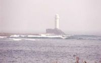
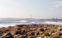
From Quimper city, take direction Audierne (main road D784). Make the 1 hour drive and pass the Goyen river, let the small harbour of Audierne on your left and stay on the upward-going road D784, toward the "Pointe du Raz" (Raz point, which means Current Point in breton language).
Cross the small city of Plogoff and turn right after a hamlet called Kerherneau (road D607).
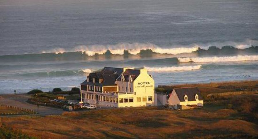
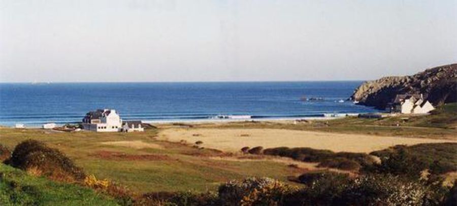
Stop at a pink hotel called "Hotel de la Baie": the parking lot is there and so is the spot.
Once on the beach, you have the Raz point on your left, the Van point on your right and Sein island just offshore(not even a mile away). Between the european continent and Sein island roll some of the most powerful currents of Northern hemisphere : 6.5 to 9 knots... if you come here by boat, make sure you use the tide to push you or have a POWERFUL motor: backward-going boats happen here too frequently and famous ocean- runners call this straight "the Horn of Brittany".
French marine chart of Sein straight is n°7147P.
| Walk | Instant access (<5 min) |
|---|---|
| Public access | Yes |
| 4x4 required | Unknown |
| Boat required | Unknown |
Wave Characteristics
| Type | Beach break |
|---|---|
| Direction | Right and left |
| Bottom | Sandy |
| Power | Hollow, Fast, Powerful |
| Frequency | Regular (100 days/year) |
| Normal length | Short (<50m) |
| Good day length | Normal (50 to 150m) |
Ideal Conditions
| Wind direction | SouthEast, East, NorthEast |
|---|---|
| Swell direction | NorthWest, West, SouthWest |
| Swell size | Less than 3ft - 10ft+ |
| Tide | Mid and high tide |
| Tide movement | Rising tide |
Crowd
| Week | Empty |
|---|---|
| Weekend | Crowded |
Dangers
Rips / undertow
Videos
None
Nearby spots

1.86 miles away
| Direction: | Right and left |
| Bottom: | Sandy with rock |
| Frequency: | Regular (100 days/year) |
5.66 miles away
| Direction: | Right and left |
| Bottom: | Flat rocks |
| Frequency: | Regular (100 days/year) |
6.85 miles away
| Direction: | Right and left |
| Bottom: | Sandy with rock |
| Frequency: | Regular (100 days/year) |