La Palue
Edit SpotAbout
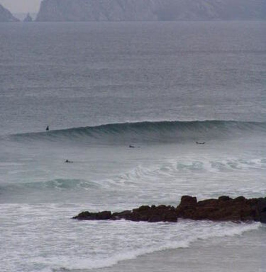
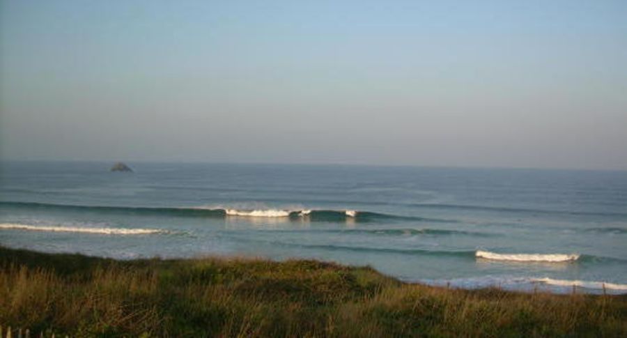
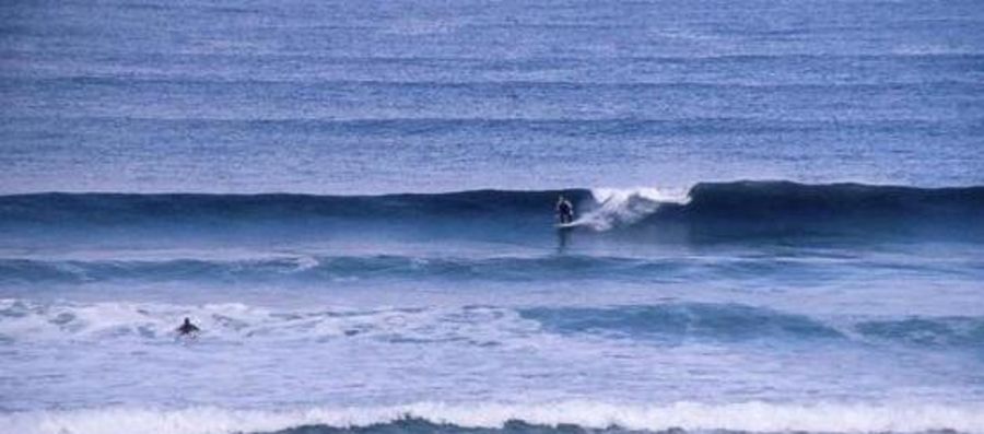
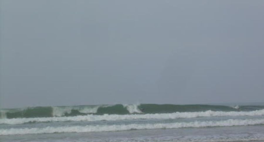
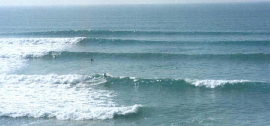
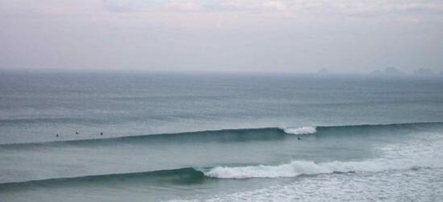
Great, especially if you do not come in summer... Spring and autumn are great but you can get fast, long and often tubing waves all year round. Winter surfing here (as in most parts of Brittany) is a hardcore experience, but smiles in the water tend to make it even wonderful. This spot of La Palue and the Crozon peninsula are very, very nice places to surf or have a walk, but they are also VERY FRAGILE PLACES... Do not let your trash behind you.
BONUS : after having the car parked, walk on your right(northward) some 300 meters away. The even-better pointbreak (high tide) of LostMarc'h is waiting for you.
Beautiful location.
Problem is the very strong rip current (swimming is forbidden).
Here is some advice but use it very guardedly because one storm and it can all change ~ the usual problem is the large hole in the beach almost directly ahead of you as you come down the steps from the car park to the beach. You can see the rip current channel here at low tide. The current generally runs right to left along the beach ( as you look at it from the steps ) and then out to sea on your left (usual way out of the current would be to keep heading further across to the left).
At the bottom of the steps the safer surfing is generally at low tide to your right just off the nose but you will generally get pulled across towards this rip so keep heading back towards up to your right towards Lost March. Enjoy !
Atmosphere:
One of the most sympathetic atmosphere you can meet in Brittany. The landscape adds to the beauty of it all and the surfing level can be pretty high. Avoid the show-off and do keep an eye on each other: you could very easily be swept offshore by the current. Swimming tourists drown here each year and there are NO LIFEGUARDS. The colder the season, the fewer crowds you will go through and the most friendly vibes you will meet.
Additional Info:
if you don't know if there is any NW to SW swell, come here and have a clue! STRONG CURRENTS are to be expected (as in any beach break). This beach is one of the best spots of West Brittany, and it also has some of the nicest landscape. It is one of the most renowed, too, and you could meet crowds, especially on week ends or holidays. Thanks to the locals, you still can get in the water, smile and expect a smile back. Best tip : early morning, end of rising tide.
Location
Loading...Access
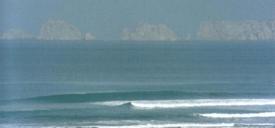
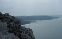
Halfway from Brest and Quimper, get into the Crozon peninsula. Head toward Crozon city and from there follow roadsigns to Morgat city (main road D887). Once at Morgat, follow the roadsigns to "Cap de la chèvre", on the road D255 you will cross a hamlet called Montourgar : take right on next crossroads. From there, just follow the main road to La Palue or (if you feel lost) ask someone, if there's anybody : everybody here knows La Palue. After you crossed the very hamlet of La Palue,you'll meet a parking lot atop the dune: keep driving where it is forbidden (down toward the beach. There still is 4 more "surfers-only" parking lots. Stop the car : have look...beautiful, huh ? On your left (southward) is the Cap de la Chevre, entry/exit of Douarnenez bay; on your right (northward) is the LostMarc'h point ("horse tail", in breton language) with a celtic period archeoligical site and offshore is the Guénéron island (birds only).
| Walk | Instant access (<5 min) |
|---|---|
| Public access | Yes |
| 4x4 required | Unknown |
| Boat required | Unknown |
Wave Characteristics
| Type | Beach break |
|---|---|
| Direction | Right and left |
| Bottom | Sandy |
| Power | Hollow, Fast, Powerful |
| Frequency | Regular (100 days/year) |
| Normal length | Short (<50m) |
| Good day length | Long (150 to 300m) |
Ideal Conditions
| Wind direction | SouthEast, East, NorthEast |
|---|---|
| Swell direction | NorthWest, West, SouthWest |
| Swell size | Less than 3ft - 10ft+ |
| Tide | Mid and high tide |
| Tide movement | Rising tide |
Crowd
| Week | Empty |
|---|---|
| Weekend | Crowded |
Dangers
Rips / undertow
Videos
None
Nearby spots
0.42 miles away
| Direction: | Right and left |
| Bottom: | Reef (coral, sharp rocks etc.) |
| Frequency: | Sometimes breaks (50 days/year) |
1.91 miles away
| Direction: | Right and left |
| Bottom: | Sandy |
| Frequency: | Regular (100 days/year) |
2.50 miles away
| Direction: | Right |
| Bottom: | Reef (coral, sharp rocks etc.) |
| Frequency: | Don't know |
