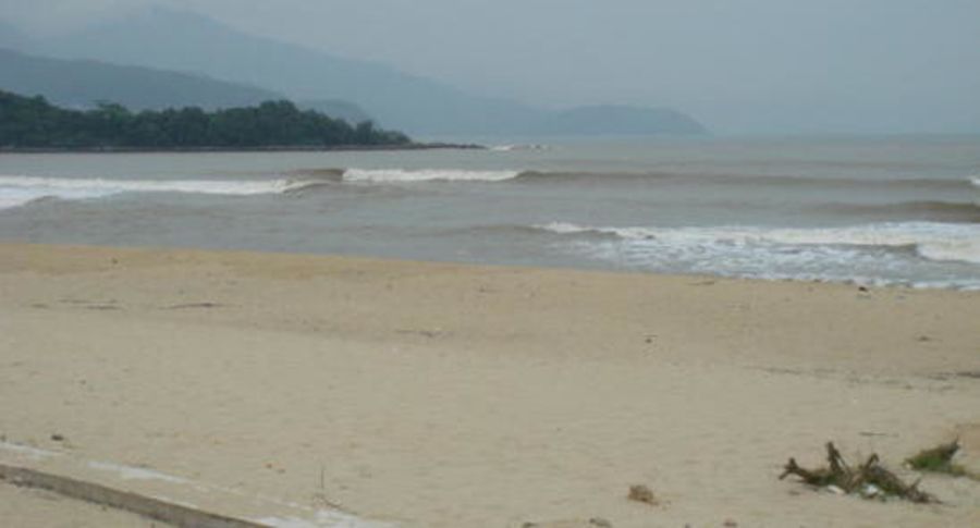
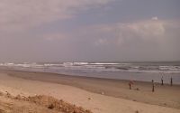
Nam O
Edit SpotAbout
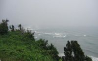
Nam O is just below a river mouth so the water is turbid and polluted.
Additional Info:
Breaks when Da Nang beaches are closing out.
Location
Loading...Access
From Da Nang take the bay road North towards Hue.
Where it makes a hard left to join the main highway is a beach break at Nam O. The point break can be seen from there.
| Walk | Short walk (5-15 min) |
|---|---|
| Public access | Unknown |
| 4x4 required | Unknown |
| Boat required | Unknown |
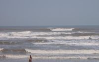
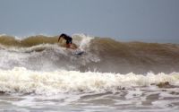
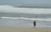
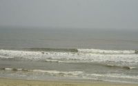
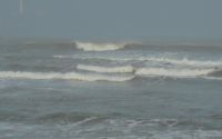
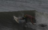
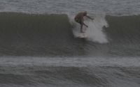
Wave Characteristics
| Type | Point break |
|---|---|
| Direction | Left |
| Bottom | Reef (coral, sharp rocks etc.) |
| Power | Fast |
| Frequency | Sometimes breaks (50 days/year) |
| Normal length | Don't know |
| Good day length | Don't know |
Ideal Conditions
| Wind direction | Unknown |
|---|---|
| Swell direction | East, NorthEast |
| Swell size | Don't know - Don't know |
| Tide | Don't know |
| Tide movement | Don't know |
Crowd
| Week | Empty |
|---|---|
| Weekend | Empty |
Dangers
Rocks, Pollution
Videos
None
Nearby spots


My Khe Beach
8.16 miles away
| Direction: | Right and left |
| Bottom: | Sandy |
| Frequency: | Sometimes breaks (50 days/year) |
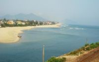
Lang Co Beach
8.31 miles away
| Direction: | Right and left |
| Bottom: | Sandy |
| Frequency: | Sometimes breaks (50 days/year) |


Da Nang
8.62 miles away
| Direction: | Right and left |
| Bottom: | Sandy |
| Frequency: | Regular (100 days/year) |