Puerto Morin
Edit SpotAbout
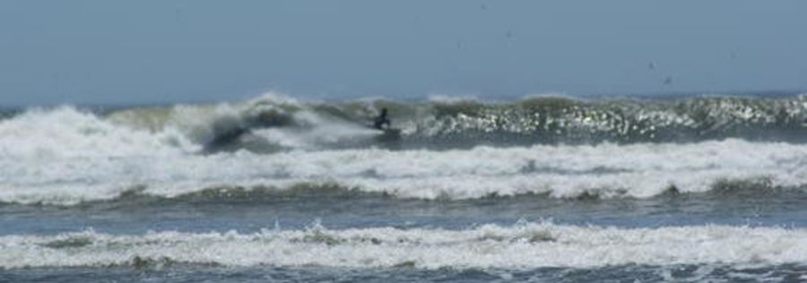
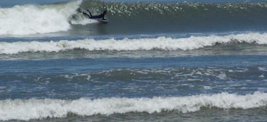
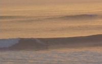
This is yet another of Peru's majestic, long lefthand points. I found this on Google maps (it has made surf exploration way too easy!) and the scale Google provides suggests there is a ride on this left which can be longer than 1.5 km!
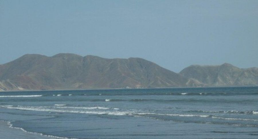
Because the headland is massive, you can have terrific protected surf from E to a SSW winds, which add to this breaks versality.
For the wave to be working, the swell is going to have to be a solid one which provides the size to ensure the swell wraps into the bay and to ensure that all of the waves sections link up.
If you get this wave to yourself, you won't forget it. It really does look like a classic wave.
Just be nice to the locals for I am sure this wave is not crowded because all the tourists head to Mancora, Pascomayo and Chicama in the north.
Location
Loading...Access
If you look at the map provided by Google, you will see the road leading to the coast. It goes through the township of Puerto Morin (about 45 km south of Trujillo) and takes you to the northern tip of the headland at the towns southern tip.
| Walk | Short walk (5-15 min) |
|---|---|
| Public access | Yes |
| 4x4 required | Unknown |
| Boat required | Unknown |
Wave Characteristics
| Type | Point break |
|---|---|
| Direction | Left |
| Bottom | Sandy with rock |
| Power | Hollow, Fast, Powerful |
| Frequency | Regular (100 days/year) |
| Normal length | Long (150 to 300m) |
| Good day length | Exceptional (>500m) |
Ideal Conditions
| Wind direction | SouthWest, South, SouthEast, East |
|---|---|
| Swell direction | SouthWest, South |
| Swell size | 5ft-6ft - 12ft |
| Tide | Don't know |
| Tide movement | Don't know |
Crowd
| Week | Few surfers |
|---|---|
| Weekend | Few surfers |
Dangers
Rips / undertow, Rocks
Videos
None
Nearby spots
18.10 miles away
| Direction: | Right and left |
| Bottom: | Sandy |
| Frequency: | Regular (100 days/year) |
27.64 miles away
| Direction: | Left |
| Bottom: | Flat rocks with sand |
| Frequency: | Very consistent (150+ days/year) |
