


Sandvik
Edit SpotAbout
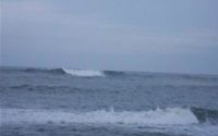
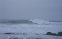
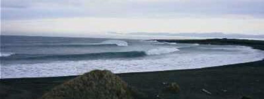
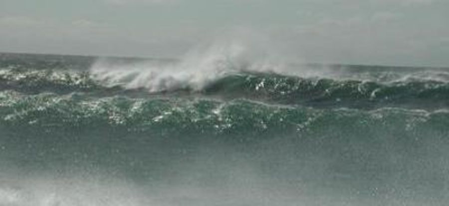
Completely isolated spot, a good stretch of black volcanic sand beach. The winds can be ferocious and it is a unsheltered spot so expect to be pelted with sand. The European and North American tectonic plate meet at one end of the beach, unbelievable...
Look out for local surfers, don't hit this spot too much but the nicest, most helpful guys. Will be more than happy to invite you for a surf.
Atmosphere:
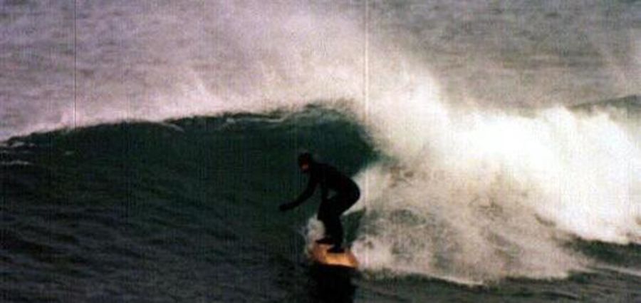
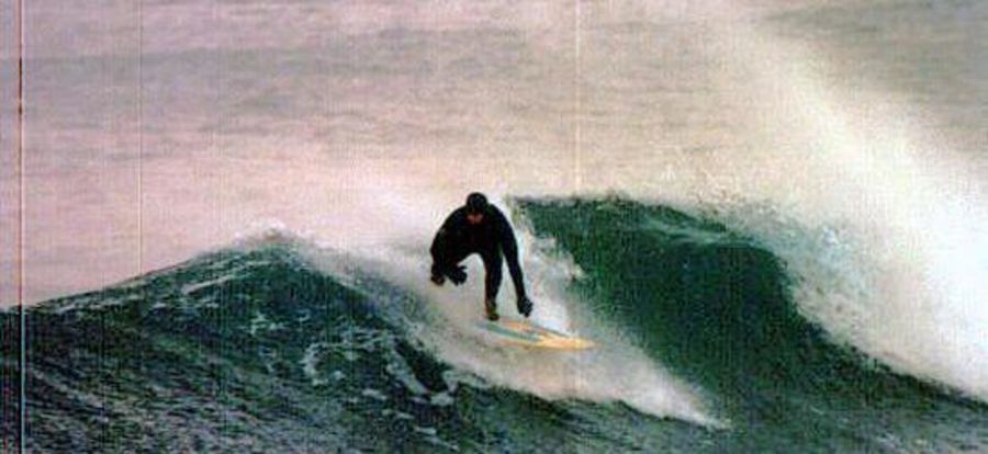
Looking for a new experience, off the beaten path, a challenge, make Sandvik one of your stops as you tour the Reykjanes penninsula. Top pros such as: Brad Gerlach and Ross Williams have stepped up to check out Iceland
Additional Info:
I recommend not to surf this spot alone, the under tow can be very strong, the waves very powerful and with it being so cold you can tired very easily. You will need hood, boots and gloves for most of the season aswell as the warmest weatsuit you can get, something like a 6/4. Enjoy
Location
Loading...Access
From Reykjavik: Take Route 41 towards Keflavik. As you get into the Keflavik you will see the Naval Air Station on the left and a sign for Hafnir. Take the left to Hafnir. After 8 km you will go through the town of Hafnir. Continue straight out of Hafnir. The very next reef you see after Hafnir on the right is North Merkines. You will see a small farm area and house on the right and lose sight of the water briefly. Immediately after the sign and farm, the water will come into view again. The small cove on the right is Evan's Reef. Continue past Evan's Reef for about 5 km. You will see a large peninsula on the right in the distance called "Hafnaberg". Past Hafnaberg and a small aquaculture farm on the right and a crevasse on the left, you will come to Sandvik.
There are two ways to reach Sandvik. The first turn-off dirt road to the right will lead to the north end of the beach. However, you will need to cross quite a bit of soft sand to reach the beach and it is a longer, rougher road.
If you pass the first turn-off, you will see a small bay and sand dunes on the right side and the "two continents bridge" on the left. The very next dirt road on the right is the road to the south side of sandvik. As you make the turn, you will see a sign on the right that says Sandvik. Take the road about 1 km. It will open into a clearing; bear to the right. The road essentially ends here and you will need to walk or drive over the lava track. As you get to the top of the bluff, you will see the beach in front of you. It is possible to drive straight onto the beach with 4 wheel drive- DO NOT attempt to drive to the beach with 2 wheel drive. You WILL get stuck!
| Walk | Short walk (5-15 min) |
|---|---|
| Public access | Yes |
| 4x4 required | Yes |
| Boat required | No |
Wave Characteristics
| Type | Beach break |
|---|---|
| Direction | Right and left |
| Bottom | Sandy |
| Power | Ordinary |
| Frequency | Regular (100 days/year) |
| Normal length | Normal (50 to 150m) |
| Good day length | Long (150 to 300m) |
Ideal Conditions
| Wind direction | SouthEast, East, NorthEast |
|---|---|
| Swell direction | West, SouthWest |
| Swell size | Don't know - Don't know |
| Tide | Mid tide |
| Tide movement | Don't know |
Crowd
| Week | Empty |
|---|---|
| Weekend | Empty |
Dangers
Rips / undertow
Videos
None
Nearby spots
5.14 miles away
| Direction: | Right |
| Bottom: | Boulders |
| Frequency: | Very consistent (150+ days/year) |


7.80 miles away
| Direction: | Right and left |
| Bottom: | Boulders |
| Frequency: | Don't know |